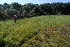
Watershed Field Assessment Report
The Watershed Field Assessment Report describes stream corridor and upland assessments conducted by the project team to identify targeted and site-specific opportunities for watershed protection and restoration. The field assessments are a screening level tool for locating potential pollutant sources and environmental problems in a watershed along with possible locations where restoration opportunities and mitigation measures can be implemented. During the field inventories, crews assessed approximately thirteen miles of stream corridors, eight potential hotspot locations, ten representative residential neighborhoods, and streets and storm drainage systems associated with the residential neighborhoods and hotspot land uses.
Field Assessment Appendices
Appendix A – Field Survey Maps:
Beamans Brook East Subwatershed
Beamans Brook West Subwatershed
Blue Hills Reservoir Subwatershed
Filley Brook Subwatershed
North Branch Park River Subwatershed
Tumbledown Brook Subwatershed
Wash Brook North Subwatershed
Wash Brook South Subwatershed
Wintonbury Reservoir Subwatershed
Appendix B
Field Survey Data:
Data Forms_A
Data Forms_B
Photo Inventory
Appendix C
Hotspot Site Investigation Forms
Neighborhood Source Assessment Forms
Photo Inventory
Street and Storm Drain Forms

note: Field Survey Map links have been updated (corrected)